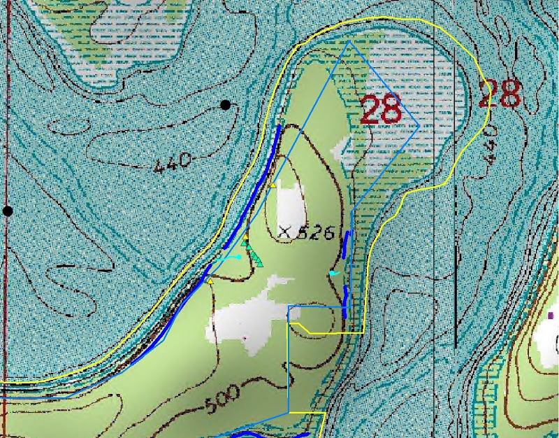
Students will construct and interpret information on topographic maps. GPS and compass use could be incorporated into this program. Students will have the opportunity to utilize these tools and maps in field studies at South Fork.
Framework
- PD.1.ES.9 – Describe the characteristics of each of the natural divisions of Arkansas:
- Arkansas River Valley
- Ouachita Mountains
- Coastal Plain
- Mississippi Alluvial Plain (Delta)
- Crowley’s Ridge
- PD.1.ES.9 – Construct and interpret information on topographic maps

You must be logged in to post a comment.